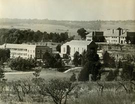
1954 HA 022 BC buildings from orchard
- ZA ZAR STS 2019-001-01-04-42
- Part
- 1954
Part of Harris Fonds
1954 HA 022 BC buildings from orchard looking towards Sandton.
Unknown
6 results with digital objects Show results with digital objects
1954 HA 022 BC buildings from orchard
Part of Harris Fonds
1954 HA 022 BC buildings from orchard looking towards Sandton.
Unknown
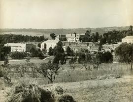
1954 HA 023 College buildings view to Sandton
Part of Harris Fonds
1954 HA 023 College buildings view to Sandton from orchard
Unknown
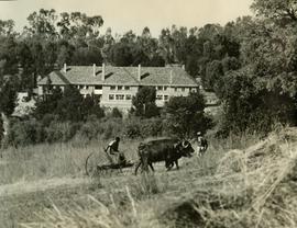
1954 HA 024 BC Mountstephens House with oxen
Part of Harris Fonds
1954 HA 024 BC Mountstephens House with oxen pulling the grass mower.
Unknown
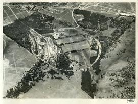
Part of Harris Fonds
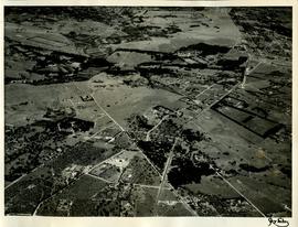
1955 HA 032 Aerial photograph of the College grounds and surrounding areas taken from the north. The intersection of Main Road and the later-named William Nicol Highway can be clearly seen in the central axis of the photograph.
1957 HA 064 Campus aerial view
Part of Harris Fonds
1957 HA 064 Campus aerial view showing the extent of the College buildings and the ring road and the location of the original school gate close to the centre of Randburg.
Part of Harris Fonds
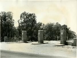
1961 HA 094 Corlett Gate viewed from the north