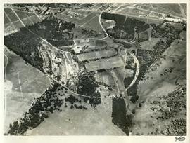
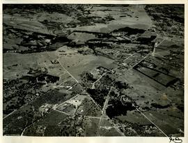
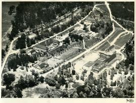
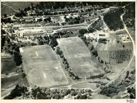
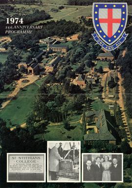
1957 HA 064 Campus aerial view
- ZA ZAR STS 2024-010-2019-001-01-04-84
- Partie
- 1957
Fait partie de Staff, Council and Parent Collections
1957 HA 064 Campus aerial view showing the extent of the College buildings and the ring road and the location of the original school gate close to the centre of Randburg.

