ZA ZAR STS 2022-010
·
Collection
·
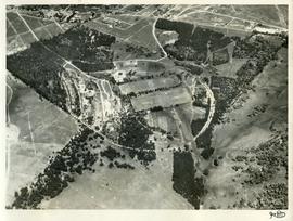
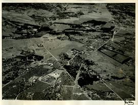
1952
1952 Aerial photographs showing the St Stithians property after the initial earthworks and before the start of construction of the buildings.
Extracts from Derek Kyle's autobiography.
Letter from Mel Wessels accompanying donation.