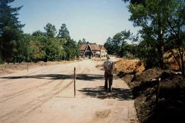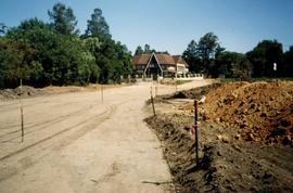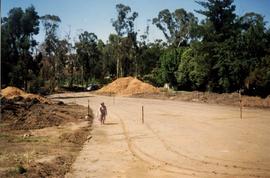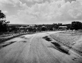
ZA ZAR STS 2020-001-001-023
·
Item
·
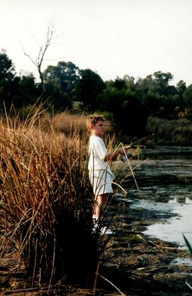
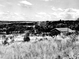
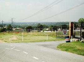
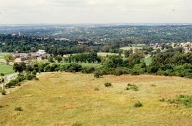
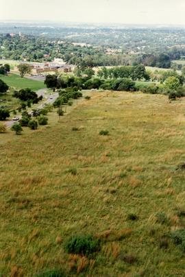
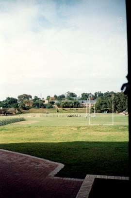
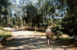
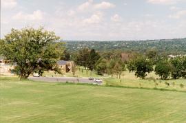
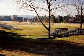
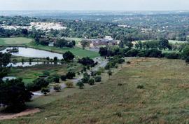
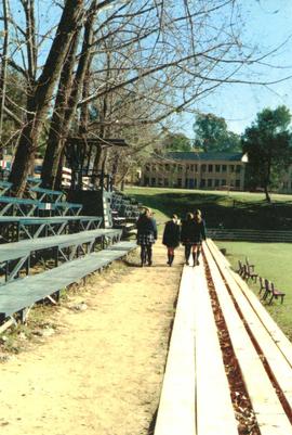
1997
Parte de Girls' College and Girls' Prep photographs 1994 onwards
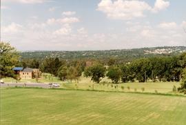
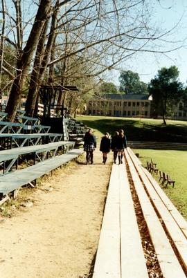
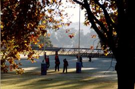
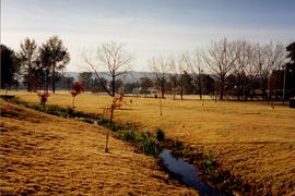
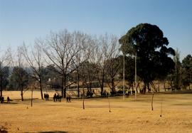
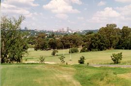
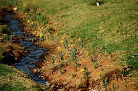
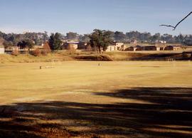
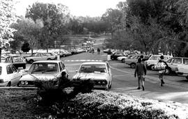
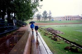
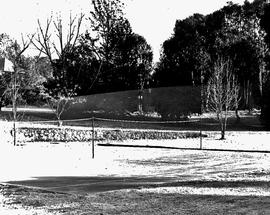
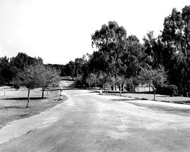
1997 Landscapes GC girls take the long walk to Chapel across Baytopp field
1997 GC Landscapes Long walk to Chapel 002