ZA ZAR STS 2019-007-03-07-44-01
·
Part
·
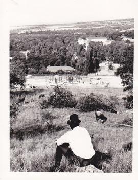
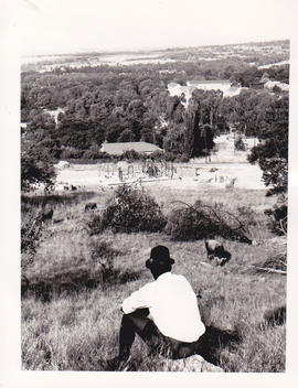
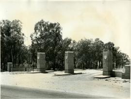
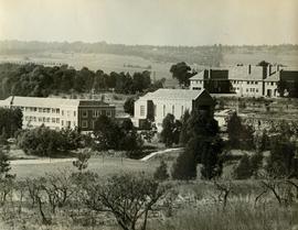
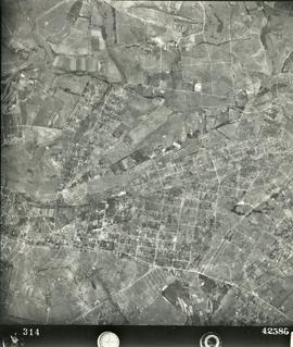
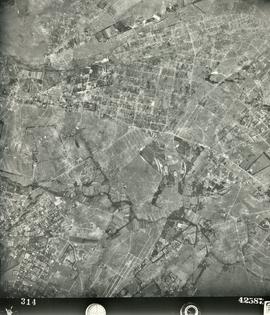
1976
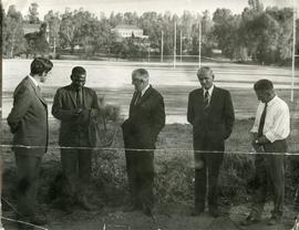
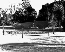
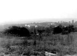
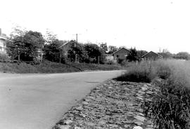
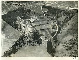
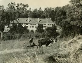
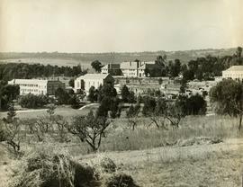
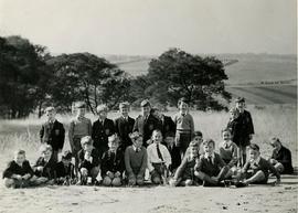
Part of Boys' College and Boys' Prep photographs 1953 onwards
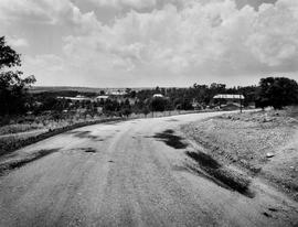
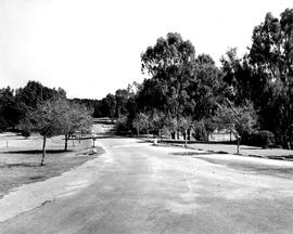
1976 BC Chapel drive viewed from the Chapel
Boys' College