Photographs

Taxonomy

Code

Scope note(s)

Source note(s)

Display note(s)

Hierarchical terms

Photographs

Equivalent terms

Photographs

Associated terms

Photographs

82 Archival description results for Photographs

82 results directly related Exclude narrower terms

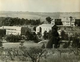
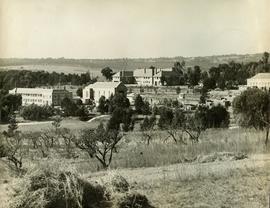
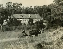
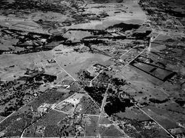
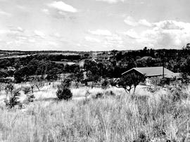
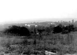
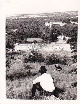
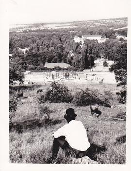
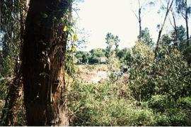
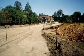
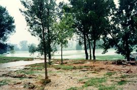
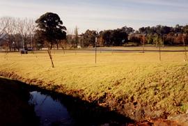
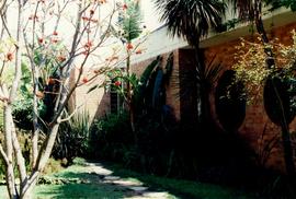
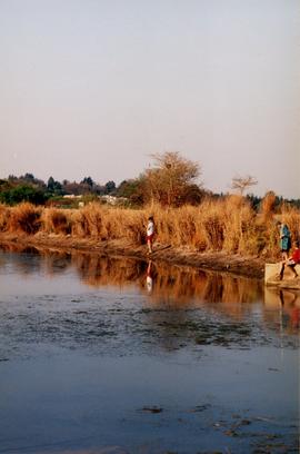
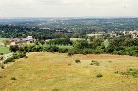
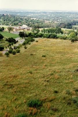
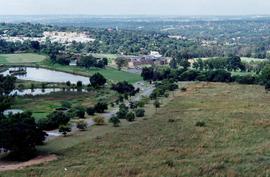
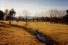
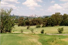
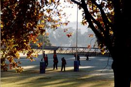
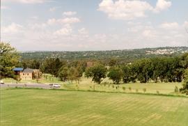
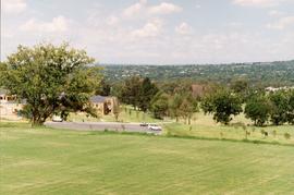
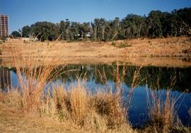
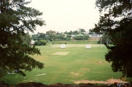
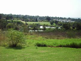
1953 BC Foundation scholars, view looking towards Sandton

1953 BC Foundation scholars, view looking across what was later to become the suburb of Parkmore, towards the ridge where Sandton City was built in 1973 on Zandfontein Farm.
This photograph illustrates the remoteness of the St Stithians property at the time the College was founded. The property, itself a portion of the original Driefontein Farm, was surrounded by farmland in 1953.

1955 HA 032 Aerial photo

  • ZA ZAR STS 2019-001-01-04-57
  • Part
  • 1955
  • Part of Harris Fonds

1955 HA 032 Aerial photograph of the College grounds and surrounding areas taken from the north. The intersection of Main Road and the later-named William Nicol Highway can be clearly seen in the central axis of the photograph.

1957 HA 064 Campus aerial view

  • ZA ZAR STS 2019-001-01-04-84
  • Part
  • 1957
  • Part of Harris Fonds

1957 HA 064 Campus aerial view showing the extent of the College buildings and the ring road and the location of the original school gate close to the centre of Randburg.

1997 BC Henning block gardens

1997 BC Henning block gardens. This garden was named after Pauline Dickson as a tribute to her many years of service to the school, specifically the development of the grounds and buildings and the the creation of today's magnificent environment.

Boys' College

1999 Campus Hurlingham Gate

1999 Campus Hurlingham Gate. This photograph was taken of the old Hurlingham gate before the fence between the school property and the Eskom reserve was taken down. The gate was further up towards the BP. The changes happened to accommodate the JP.

Boys' College